-40%
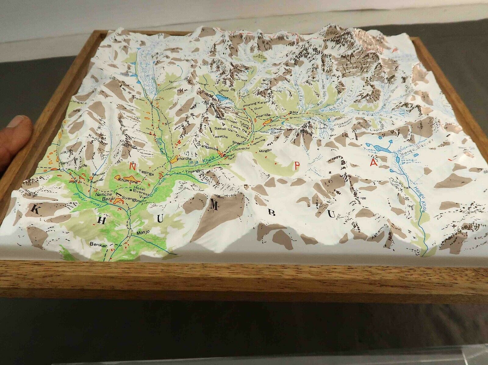
Raised Relief 3D Plastic Topographical Map of Khumbu Region of Himalayas w Cover
$ 15.81
- Description
- Size Guide
Description
3D topographical relief map of the Khumbu region and Mount Everest of Northeastern Nepal.. showing mountains, valleys, rivers, village and glaciers and their names.Mount Everest, the highest point, is near the upper right corner of the map.
This map is meant to be displayed flat on a table, its land contours to be viewed or touched.. the clear cover lifts off easily and must be secured to keep it on if wall mounting is desired. It may have been designed as a geography teaching aid for blind people.
Map rests inside a 10" x 12" wooden frame. it can easily be removed from the back of the frame without any tools.
It is a high quality map, in very good condition. No sign of yellowing or deterioration.
There is no brand name on it anywhere, not even on its back side. There is no scale on the map in either miles or kilometers.
See photos.


