-40%
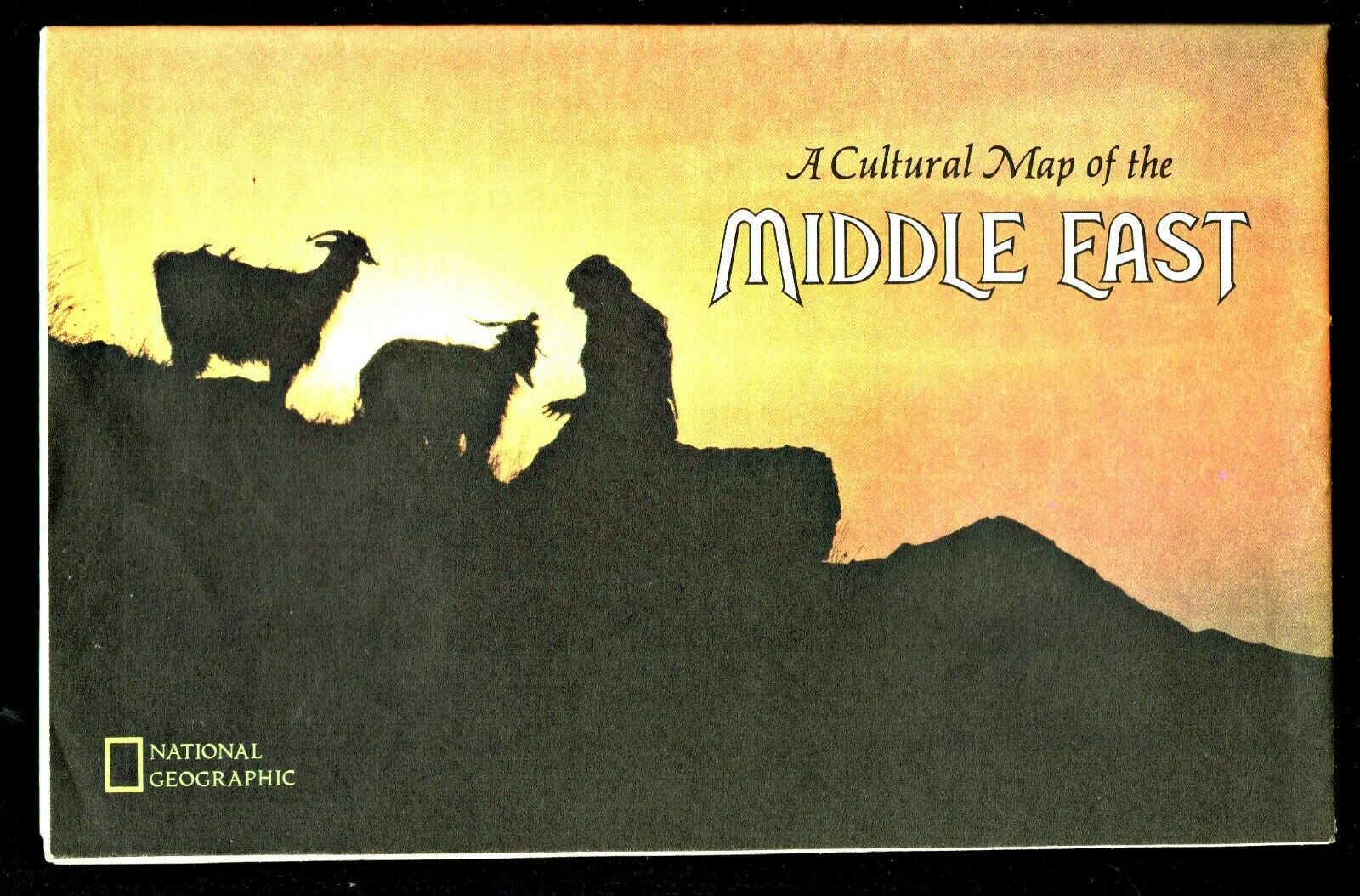
⫸ 1972-7 July CULTURAL MAP PEOPLES OF MIDDLE EAST National Geographic Map A1
$ 1.26
- Description
- Size Guide
Description
⫸1972-7
July CULTURAL MAP PEOPLES OF MIDDLE EAST National Geographic Map Poster
An important study for a deeper understanding of the Middle East. One side of this study contains a classic National Geographic physical and political map of the Middle east. Surrounding the map are the identifications of the major ethnic groups that occupy the regions, mostly as village farmers, but with different religions, and from different countries with differing views of the past and the future. The reverse-side contains an excellent study of the area from the empires that occupied the areas, to the life of the farmers where water is the key to life, to the changing life of the nomads, to the growing attractions of the cities, to the growing role of women, to the rise of Islam, and to the importance of oil. One of many maps about the Middle East. There are a number of map insets: Palestine and Israel from 1920 to1967 in 4 steps, land use, the Hold Land today, Jerusalem, the ebb and flow of empires in 5 stages, a study of the Moroccan Arab, the birthplace of the Alphabet, plus individual studies of the various peoples.
Middle East maps (for a more complete historic perspective) are our:
1978-9 Middle East and Early Civilizations; 1980-9 Mideast in Turmoil, Two Centuries of Conflict; 1991-2 The Middle East; States in Turmoil and 2002-10 Middle East – Crossroads of Faith and Conflict.
Map is approximately 22” x 34”.
The National Geographic is known for it's fine maps & detailed information.
Supplement to the National Geographic Magazine; magazine is not included.
Always use your cart to obtain any discounts!
U.S. Shipping
- Please select:
1) USPS Mail Service or Media Mail (average delivery time) .50 for the first item and 50
¢ for each additional item.
2) USPS Package Service (faster delivery and with tracking) .00 for the first item and 50¢ for each additional item.


